What if your weekend hike, your favorite bike commute, and a quiet garden walk were all within minutes of your front door? In Durham, that can be your normal. Whether you love manicured landscapes, river trails, long greenway rides, or lake days, you have options close to home. In this guide, you’ll learn where to go, what each place offers, and which nearby neighborhoods put you closest to the outdoor experiences you want. Let’s dive in.
Why Durham lives outdoors
Durham blends a vibrant city core with significant green space. You can stroll through Sarah P. Duke Gardens on Duke’s campus, explore river trails at West Point on the Eno and Eno River State Park, wander the woodlands of Duke Forest, bike the American Tobacco Trail, and spend a day on Falls Lake. The scale is impressive:
- Sarah P. Duke Gardens: 55 acres and about 5 miles of paths.
- West Point on the Eno: roughly 404 acres along a 2-mile stretch of the Eno River.
- Duke Forest: over 7,000 acres across several tracts.
- American Tobacco Trail: a 22-plus mile rail-trail corridor.
- Falls Lake: about 12,400 acres of water with extensive public lands around it.
Durham also maintains a connected network of trails and greenways. The city highlights over 30 miles of multi-use, often paved, greenways. The department’s broader inventory includes roughly 103.7 miles of trails across parkland, plus about 2,015 total park acres. In short, the paved paths get you around town, and the larger trail system adds miles of natural-surface routes.
Signature places to explore
Eno River and West Point on the Eno
If you crave a near-in-town wilderness feel, the Eno delivers. The City of Durham’s West Point on the Eno is a historic, 404-acre park with meadows, wooded trails, picnic spots, and cultural sites like a working grist mill. It spans a 2-mile stretch of the Eno River with easy access to wading and fishing in warm months. Start with the city’s official page for hours, parking, and features at West Point on the Eno.
Just upstream and downstream, Eno River State Park adds more access points, hiking, and paddling. Trails wind through rocky streambeds and shaded bluffs, giving you a classic Piedmont river experience only a short drive from central Durham. Check current advisories and trail maps on the Eno River State Park page.
Local stewardship is a big part of the Eno’s story. Community partners and volunteers have helped protect land along the river and host events that celebrate the corridor’s natural and cultural heritage. Summer brings music, art, and river fun to the area, adding to its appeal as a lifestyle anchor.
Sarah P. Duke Gardens
Prefer a serene, curated walk to start your day? Sarah P. Duke Gardens is a stunning 55-acre public garden with about 5 miles of pathways. Four distinct areas invite repeat visits: the Historic Terraces, the Blomquist Garden of Native Plants, the Culberson Asiatic Arboretum, and the Doris Duke Center Gardens. It is a favorite for morning jogs, quiet reading, and taking in seasonal color. Review visitor hours, parking, and tour options on the Duke Gardens site.
Duke Forest
For longer woodland walks, birding, or trail running, Duke Forest provides a natural buffer around the Duke campus and nearby neighborhoods. Managed for research and teaching, the forest spans more than 7,000 acres in several tracts with multiuse trails and quiet gravel roads. It is a great everyday option if you want to immerse yourself in the woods without a long drive. Learn more about its mission and geography at the Duke Forest overview.
American Tobacco Trail and Durham greenways
The American Tobacco Trail (ATT) runs from near downtown Durham south through the Triangle for more than 22 miles. Parts are paved and others are compacted stone, which makes the ATT popular for biking, running, and commuting. Trailheads dot the corridor, so you can tailor a short ride or a long weekend loop. Find history, route details, and a map on the ATT trail page.
Durham’s multi-use greenways connect neighborhoods to the ATT, parks, and downtown. The city highlights over 30 miles of these paved paths on its trails page, while its broader park system includes about 103.7 total trail miles across properties. That difference matters when you are planning how to get around: paved greenways are ideal for strollers and bikes, and natural-surface trails offer more rugged hikes. See the overview and trail resources on Durham Parks & Recreation’s Trails and Greenways page.
Falls Lake
When you want a full day outside, head to Falls Lake. The reservoir includes roughly 12,400 acres of water plus public land around it, with swim beaches, boat ramps, paddling access, campsites, and more. Depending on your access point, the lake is about a 15 to 30 minute drive from central Durham. Start with the US Army Corps of Engineers page for Falls Lake for water-level updates and area information.
Neighborhoods near the outdoors
Near Duke Gardens and campus green space
If you want garden walks and campus access at your doorstep, consider historic in-town neighborhoods with sidewalks and smaller lots:
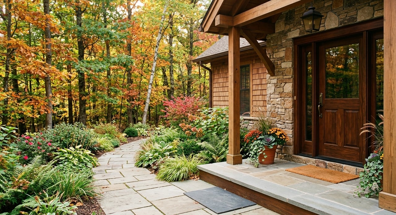
- Trinity Park. Between downtown and Duke’s East Campus, Trinity Park features early 20th-century homes and Craftsman-era architecture. The neighborhood association provides helpful context on its historic district, events, and guidelines. Explore history and resources on the Trinity Park Neighborhood Association site.
- Old West Durham. Centered on the Ninth Street corridor, this area offers a mix of older single-family homes and duplexes, with easy access to Duke’s West Campus and Duke Gardens. You can blend garden time with a quick coffee or bite on Ninth Street.
- Duke Park. Just north of downtown, Duke Park offers classic 1920s to 1940s housing and quick connections to central greenways. It is convenient if you want a traditional neighborhood feel and short trips to downtown and campus.
These neighborhoods suit you if you value walkability and being minutes from manicured spaces like Duke Gardens. Always review historic-district guidelines as part of your due diligence.
North Durham for the Eno River
If river access tops your list, look at north Durham near West Point on the Eno. The park sits along N. Roxboro Street about 6 miles north of downtown, and the surrounding areas offer quick entry to the Eno’s trails, meadows, and picnic areas. This is where you can keep a pair of water shoes in the trunk for impromptu wading and summer creek days. Check the city’s West Point page for maps and parking before you go.
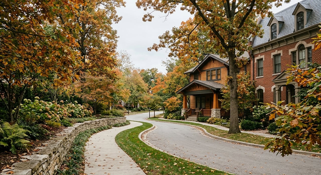
South Durham, the ATT, and suburban greenways
South Durham’s neighborhoods connect easily to the American Tobacco Trail and city greenways. If you want to commute by bike, log long training rides, or push a stroller on a smooth path, this side of town makes it simple. The Southpoint area functions as a suburban amenities hub, and nearby communities, including Hope Valley and newer subdivisions, often tie into greenway spurs or sit within a short drive of an ATT trailhead. Use the ATT map to plan access points and distances that match your routine.
House-hunting tips for outdoor access
When you shop for a home near trails, rivers, forests, or lakes, a few checks will help you buy with confidence:
- Flood zones and lowlands. For river-adjacent or low-lying lots, review FEMA floodplain maps and ask about past water events.
- Utilities and septic. In more rural tracts, confirm utility availability and septic permits early.
- Conservation or historic overlays. Some areas, such as parts of Trinity Park, have historic-district guidelines. Others may include conservation easements that shape future changes. Read covenants and local rules carefully.
- Greenway proximity. If a subdivision backs to a public trail, ask about HOA rules, fencing, and how close the nearest trailhead parking is.
- Noise and traffic patterns. Visit at different times to understand weekend trail traffic near popular access points.
- Commute options. Test-drive your bike route to the ATT or city greenways to see if the distance and elevation fit your comfort level.
- Pet and family use. Durham parks and greenways are generally dog-friendly with leash rules that can vary. For water access at the Eno or Falls Lake, check seasonal guidelines on the official pages before you go.
Imagine your everyday routine
Picture this: You start with a loop through Duke Gardens, grab coffee on Ninth Street, and get to work with a 10-minute ride along a paved greenway. After work, you change into trail shoes and head to West Point on the Eno for a quick riverside hike, then plan a weekend ride south on the ATT. On Sunday, you load the kayak and spend a lazy afternoon on Falls Lake. In Durham, that is a very normal week.
Plan your first visits
- For curated, colorful walks, begin at Sarah P. Duke Gardens and review visitor tips.
- For river hikes and picnic spots, check West Point on the Eno for hours, and then browse Eno River State Park for additional access points.
- For longer woodland routes, read the Duke Forest overview before visiting.
- For fitness rides or a car-free commute, see the American Tobacco Trail map and the city’s Trails and Greenways page.
- For lake days and camping, start with Falls Lake updates.
Ready to find your spot near the trails?
If outdoor living is a priority for your next move, you deserve a guide who knows how neighborhoods connect to parks, paths, and everyday routines. From evaluating trail access to advising on renovation potential, I help you zoom in on the right fit with clear, practical steps. When you are ready, reach out to Dana Wicker Cantrell to start your Durham home search.
FAQs
Where can I find manicured garden walks in Durham?
- Visit the 55-acre Sarah P. Duke Gardens with about 5 miles of paths; check hours and details on the Duke Gardens site.
What is West Point on the Eno and what can I do there?
- It is a 404-acre city park along a 2-mile river stretch with trails, picnic areas, and historic features; start with the city’s West Point on the Eno page for maps and hours.
How long is the American Tobacco Trail and is it paved?
- The ATT runs 22-plus miles from near downtown Durham south; some sections are paved, others are compacted stone, which suits biking, running, and walking.
How extensive are Durham’s greenways compared to other trails?
- Durham highlights over 30 miles of multi-use paved greenways, while the broader park system includes roughly 103.7 total trail miles across parkland.
What is Duke Forest and is it open to the public?
- Duke Forest spans more than 7,000 acres managed for research and teaching, with multiuse paths and roads available for everyday walking and running in designated areas.
How far is Falls Lake from central Durham?
- Depending on your access point, Falls Lake is about a 15 to 30 minute drive and offers swim beaches, boat ramps, hiking, and camping options.